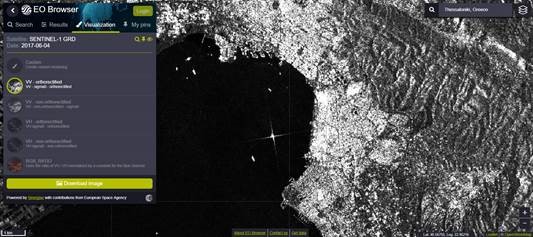
SAR data by Sentinel-1 can be used for monitoring ice areas, oil spills, sea winds and currents, changes in land use, earth movements, so they are really useful for evaluating natural disasters such as floods and earthquakes. These data, until recently, they were not available at Sentinel Hub due to their complexity and other technical issues line the lack of data orthorectification, etc. Now, we are pleased to announce the beta availability of Sentinel-1 SAR data at Sentinel HUB. Data will be available for all applications and of course they will be accessible with the use of OGC services, WMS and WCS. You can see examples of Radar Satellite data at this application.
Radar Data, Sentinel-1 SAR (beta release), are also available through GETOpenData Service