Our team

Gabriel Mavrellis
CEO & Founder
Thirty six years of experience in all processes of Geo-Informatics sector. He plans the strategy of the company and participates actively in its business development through new projects, markets, solutions, partnerships. He is Rural and Surveying Engineer with expertise in Business Administration. He dynamically supports the adoption of open standards, open source community actions and the idea of data and knowledge sharing.
Theodoros Vakkas
Chief Technology Officer
He is the CTO of GET. He has the key role for the design and implementation of solutions and projects in the field of Geo-ICT, open geospatial data, earth observation/remote sensing data and geospatial web mapping applications for public and private sector. He has more than 16 years of professional experience in Geo-Informatics and high-level expertise. He has an MSc in Geoinformatics (NTUA 2008) and Diploma of Rural and Surveying Engineer (NTUA 2004). He is the Project Manager for national and European projects implemented by GET, managing and coordinating GET’s team consisted by developers and engineers.
Panagiotis Symeonidis
Chief Scientific Officer & Presales Manager
He has significant expertise in environmental data management and in environmental (Geo)Informatics design and development, participating in projects concerning environmental data management, analysis and editing. He has Diploma in Physics, MSc in Environmental Physics and Ph.D in Environmental Database “Study in atmospheric pollution and its sources with the use of GIS”.
Maria Pahoula
Project & Business Development Manager
With 15 years of experience in managing and implementing Projects related to Geoinformatics and Remote Sensing, and significant expertise in Satellite Remote Sensing Data, she is actively involved in the development of GET’s innovative high-quality solutions and the management of projects and research programs. She has a degree in Geology (UOA) with an MSc in Geoinformatics (NTUA).
Simos Taskaris
GIS Analyst
He has important experience in Geographic Information Systems and he participated in desktop and web GIS applications development projects. He is graduate Regional and Urban Planning Engineer (University of Thessaly), MSc in Transport Systems (Aristotle University of Thessaloniki) and MSc in Informatics (Hellenic Open University).
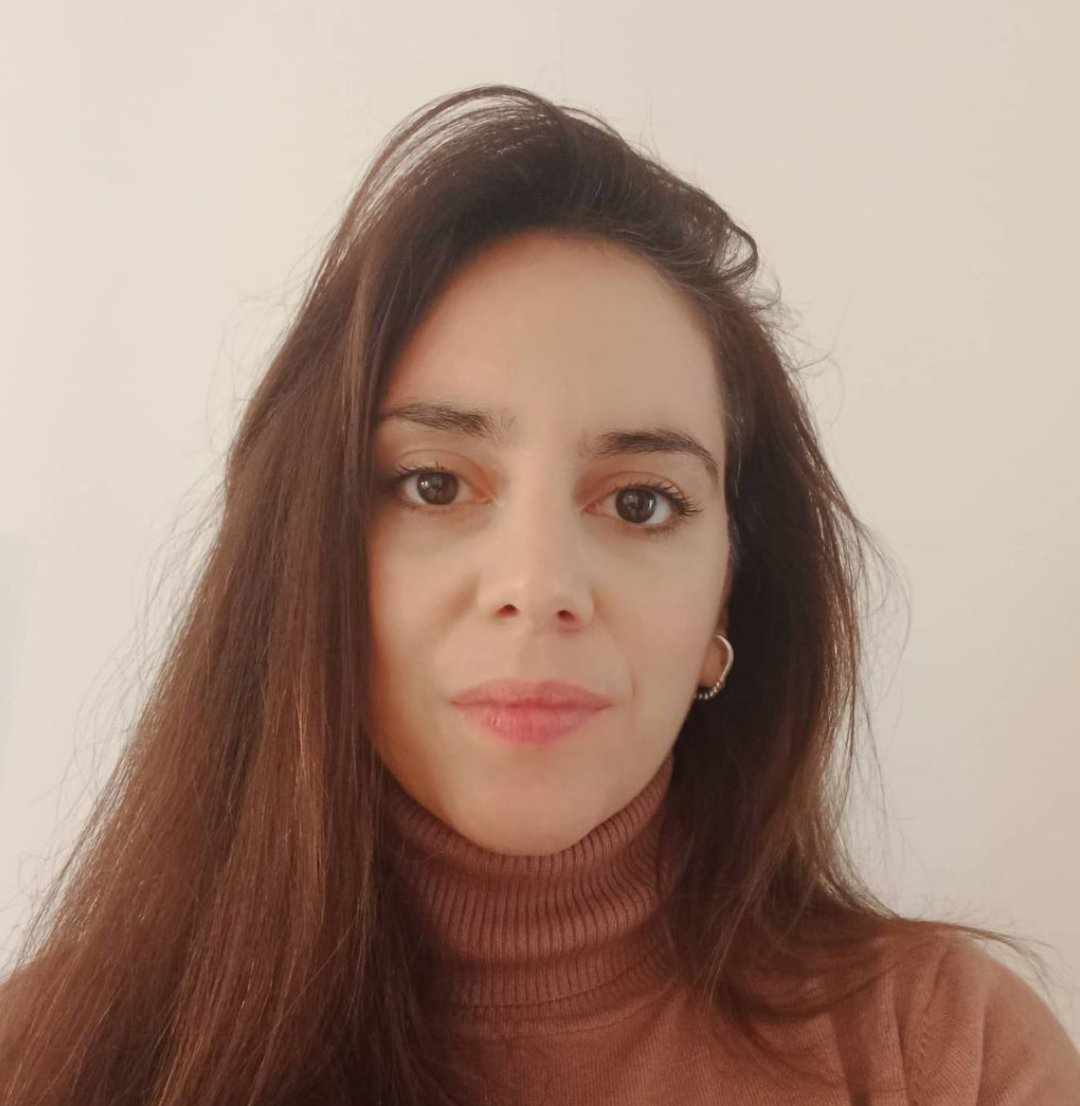
Katerina Bartsoka
Geographic Information Systems Engineer
She is a Surveying Engineer (NTUA) and continued her studies in the MSc program “Environment and Development” at the same university. Has significant experience in Cadastral studies and Environmental Permissions for projects in the energy sector.
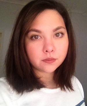
Georgia Mavrokefalou
Geographic Information Systems Engineer
She is graduate of Geography Department of Harokopeion University with MSc in Applied Geography with direction in Geo-Informatics. She is a PhD candidate in the Physics department of the Aristotle University of Thessaloniki in collaboration with the Environmental Radioactivity Laboratory of the Institute of Nuclear & Radiological Services & Technology, Energy & Safety of NCSR Democritos. Her research is entitled “Study on the relation of radioactive pollution and satellite observations of marine parameters and comparative analysis on a Geographic Information System”.

Efstathios Lymperis
Software Engineer
He graduated from the Geology department of Aristotle University of Thessaloniki, where he was involved with the application of modern computational methods in technical geology. Since then, he has been working as a geoinformatics engineer implementing spatial information tools and systems, as well as projects on spatial analysis and cartography.
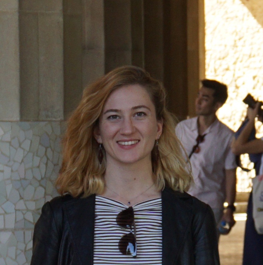
Elpida Gkouvra
GIS and Mobile Mapping Engineer
She is a Rural, Surveying and Geoinformatics Engineer (NTUA), specializing in photogrammetry. Her diploma thesis involves the use of Deep Learning Models in Mobile Mapping applications, while she works as a GIS and Mobile Mapping Engineer in GET company.
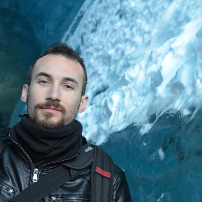
Theodoros Gatsios
GIS & Remote Sensing Engineer
He holds an MSc in Geophysics (NKUA) and a BSc in Geology (University of Patras). He has a significant research experience in satellite remote sensing, particularly in Multi- Temporal SAR interferometry (MTInSAR).
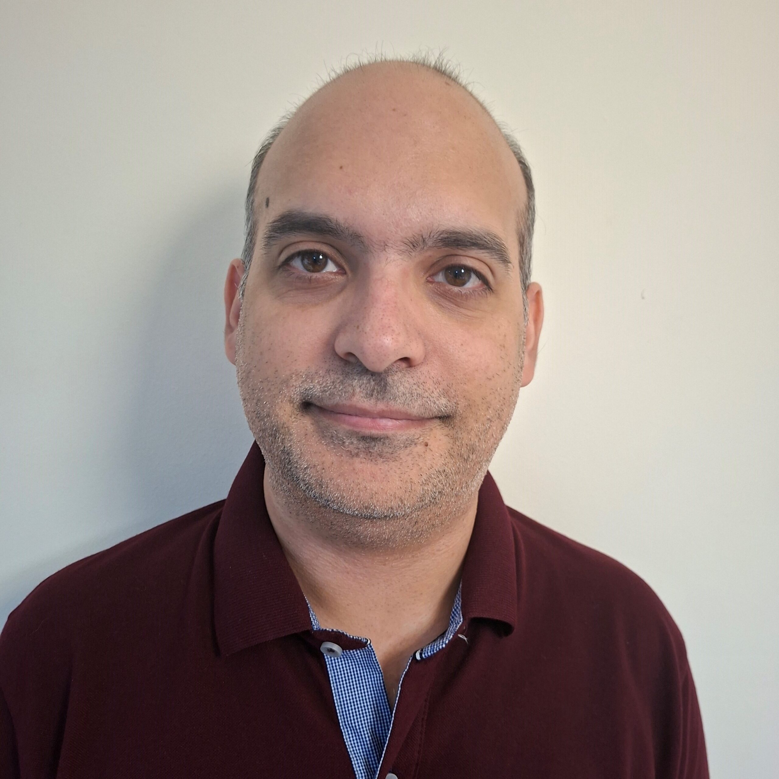
Dimitris Dimitrelis
GIS Engineer
Graduate Forester – Environmentalist of the Department of Forestry and Natural Environment of the Aristotle University of Thessaloniki, with postgraduate degrees in Data Science and Machine Learning as well as in Environmental Design of Infrastructure Works from the Hellenic Open University.
With five years of experience in geoinformatics and remote sensing applications as well in computer programming using the python language. In addition, he has experience in machine learning related to autonomous vehicle driving using computer vision algorithms.
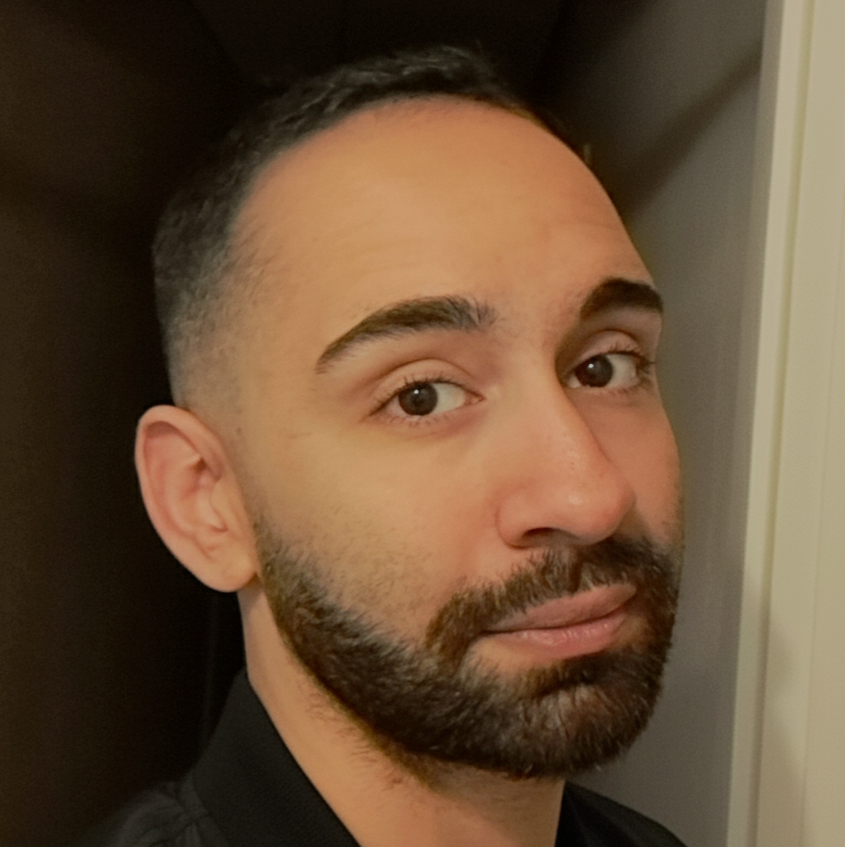
Achilleas Ntaralas
Full Stack Developer
Graduate of the Department of Computer Science and Engineering at the University of Thessaly. Specializing as a Full Stack Developer, he possesses a strong foundation in the entire software development lifecycle, from software design and architecture to backend and frontend implementation. Beyond web technologies, he has developed skills in Machine Learning and Neural Networks.
Thomas Papathymiopoulos
GIS Engineer
Graduate of the Department of Informatics and Telecommunications at the University of Athens (NKUA), with professional experience in software development. He has worked on computer vision applications and currently works at GET as a software engineer.
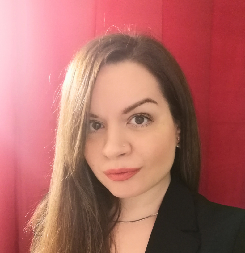
Kyriaki Lainaki
Accounting Administrative Assistant
With extensive experience in supporting the Accounting and Procurement departments and a background in Business Administration studies, she is responsible for the smooth daily operation of the company GET.
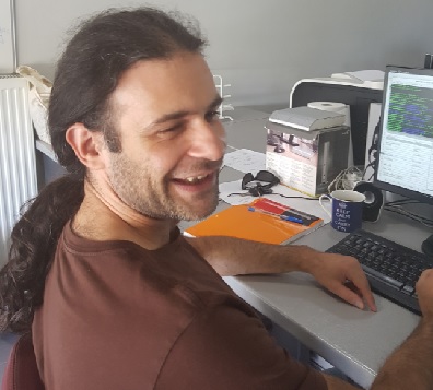
Pantelis Mitropoulos
External Parnter
He has a PhD in Physics (Laboratoire de physique théorique d’Orsay, Université Paris-Sud, France) combining Physics with Informatics. He has also an MSc in Physics and Technological Applications (NTUA) and a BSc in Physics (National and Kapodistrian University of Athens). He is a Web developer in GET contributing in projects regarding design and development of web applications/plugins/software.
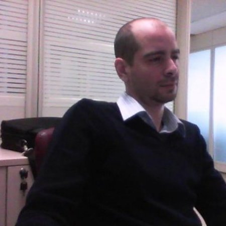
Simos Kamilieris
External Parnter
He develops software and applications which cover technical requirements and needs of GET’s customers and partners, having technical expertise and education in Informatics and experience in Geo-Informatics. He is Informatics Graduate (Technological Institute of Lamia) with MSc in Computer Science (Hertfordshire University).
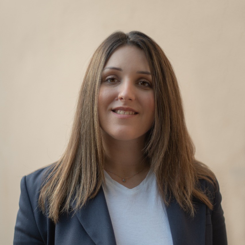
Andriana Aravani
External Parnter
Accountant with 10 years of experience responsible for the daily operation of GET specialization in Accounting and Τax issues.She is a graduate of A.E.I. Piraeus TT in the Department of Accounting and Finance.
Our partners

SINERGISE
Sinergise offers a satellite image web services for seamless integration of open Earth Observation data (Sentinel-2, Landsat, etc.) in any web, desktop or mobile GIS application. Sinergise also provides open satellite imagery data fully accessible and useful for companies and individuals by hiding complexity of archiving and processing petabytes of data and dealing with multi-sensor and multi-temporal data

TRE ALTAMIRA
TRE ALTAMIRA is the world leader in displacement monitoring services using satellite radar data. With more than 20 years of experience, TRE ALTAMIRA, now a member of the CLS Group, provides displacement measurement services and mapping solutions from Synthetic Aperture Radar (SAR) data, which are used in various market sectors, including civil engineering, mining as well as oil and gas.
