GET successfully completed one more project in the field of Local Government and more specifically for the Municipality of Zitsa.
The Municipality of Zitsa has set as a priority and main axis of its planning, the digital transformation. In this context, it constantly invests in digital technologies, which facilitate the daily life of the Citizens, improve its administrative capacity and serve transparency and extroversion.
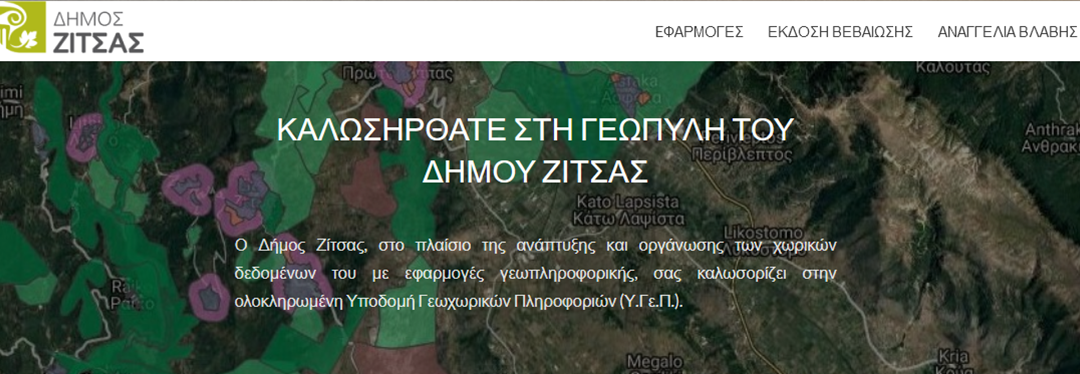
After two years of operation, the geo-information system (GIS) has served thousands of users who use it to search and receive information about the spatial organization of the Municipality, infrastructure, environment, etc. This year, the Municipality proceeded to the upgrade of the system, enriching its content and developing new services for the citizens. In more detail, 90 new thematic layers are now available to its Services and to the public concerning:
- land parcels
- network infrastructure
- land cover
- quarries
- waters
- altitude
The data is available through the Web Portal, which acts as the main user interface with the infrastructure. In addition to the basic functions, users have at their disposal the “Citizen Service Applications”: Application for the issuance of a certificate inside / outside the settlement, Announcement of electrical lighting failure.
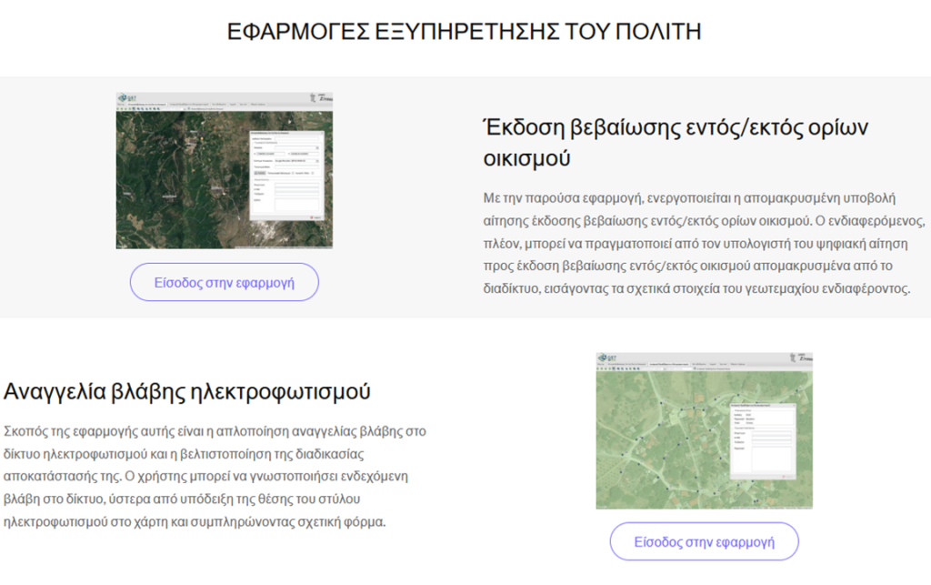
Given the maturity of the system and the transfer of know-how to the internal users of the system, applications were developed in order to address specific vertical needs of the Services of the Municipality. More specifically the applications developed were:
- Application for printing a Certificate for the permissible use based on the GIS / Open City Spatial and Housing Organization Plan
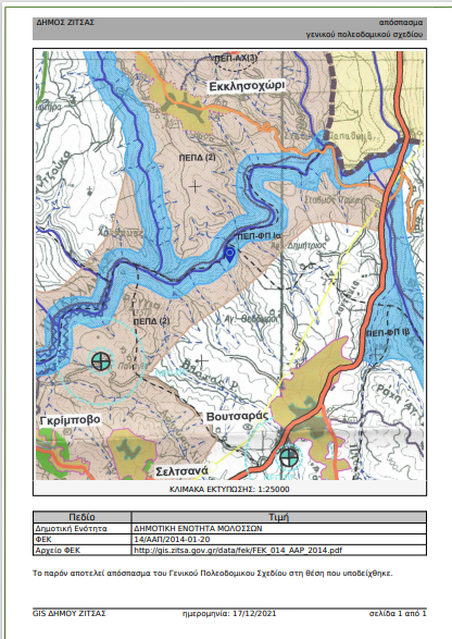
- Application for printing an excerpt of the General Urban Plan (GIS), where it has been institutionalized.
- Application for Interconnecting with TCG’s Electronic Licensing System (e- Licensing), which allows the input and processing of data from the system of TCG.
The possibilities of thematic and functional escalation of the system are potentially unlimited and the Municipality with the coordination of the Technical Service invests systematically in this direction. The data collected (fieldwork, studies, etc.) will update the system, with the aim of expanding the content and developing a central hub of information.