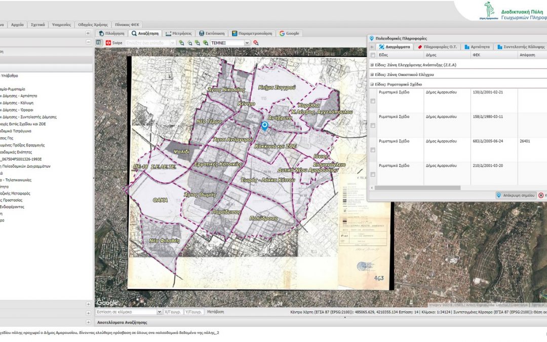
ppCity project has already begun!
GET participates in the implementation of the research project with the title “Integrated System for the Spatial Decision Support and Participation”, acronym ppCity, project code: Τ1ΕDΚ-02901 and MIS code 5029727 under the framework of the Action “RESEARCH – CREATE –...Leaflet for SLIPO: Scalable Linking & Integration of Big POI Data
SLIPO: Scalable Linking & Integration of Big POI Data, receiving funding from the European Union’s Horizon 2020 research and innovation programme under grant agreement No 731581, is in implementation phase. You can see here the relative leaflet.
Portal for access in Copernicus Satellite Data through OGC services for the Region of Central Greece
NAMA S.A. in cooperation with GEOSPATIAL ENABLING TECHNOLOGIES will create a Portal for Open Satellite Data (Copernicus system) access in almost real time for the Region of Central Greece. Via dynamic view and download services according to OGC standards, the user...
GET cooperates with Dipylon
It is a big pleasure and honor for GET to announce its cooperation with Dipylon, the non profit organisation for the study of the ancient topography and the cultural environment through interdisciplinary research on Archaeology, History, Informatics and Cartography....